
Printable Continent Fact Cards
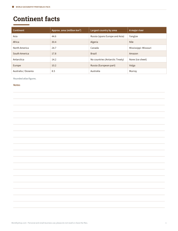
This one-page fact sheet is for students, teachers, homeschoolers, and anyone reviewing world geography. It lists continent facts in four columns: Continent, Approx. area (million km²), Largest country by area, and A major river. The rows cover Asia, Africa, North America, South America, Antarctica, Europe, and Australia/Oceania, using rounded atlas figures.
Free printable · PDF
- 1 page
- US Letter — choose “Fit to page” for A4
- PDF, 51 KB
Free for personal, family and classroom use.
Need to edit it? The full pack has the editable Word and Excel files plus all 4 sheets — $3.00, one-time.
Your free PDF is downloading. Want all 4 sheets in one download, plus the editable Word and Excel files so you can change the text?
Instant download · 7-day refund · Secure checkout by Stripe
Use it as a quick reference during geography lessons, map study, or notebook work. It also works as a warm-up before labeling a blank world map, checking facts during study time, or keeping nearby for class review. Print it on its own or place it with other world geography pages.
Good for
- Quick geography reference
- Map study support
- Classroom or homeschool review
Tip: Print on cardstock if you want a sturdier reference page for frequent use.
4 files · PDF, DOCX, XLSX
Get every sheet: World Geography Printables Pack
This sheet plus 3 more in one download, with the editable Word and Excel files. Printable world geography activities: continents and oceans labelling sheet with answer key, latitude and longitude practice worksheet, continent fact cards and a map skills checklist.
$3.00 USD, one-time 4 files · about $0.75 each
- Instant download
- 7-day refund
- Secure checkout by Stripe
✓ Classroom use included
7-day money-back guarantee. Full refund within 7 days of purchase, even after you download.
License: personal and classroom use. Teachers may print and photocopy these files for the students in their own classes, and share them in a password-protected class space (e.g. Google Classroom). Please do not resell, redistribute, or post the files on public websites. One purchase covers one teacher.
More free printables
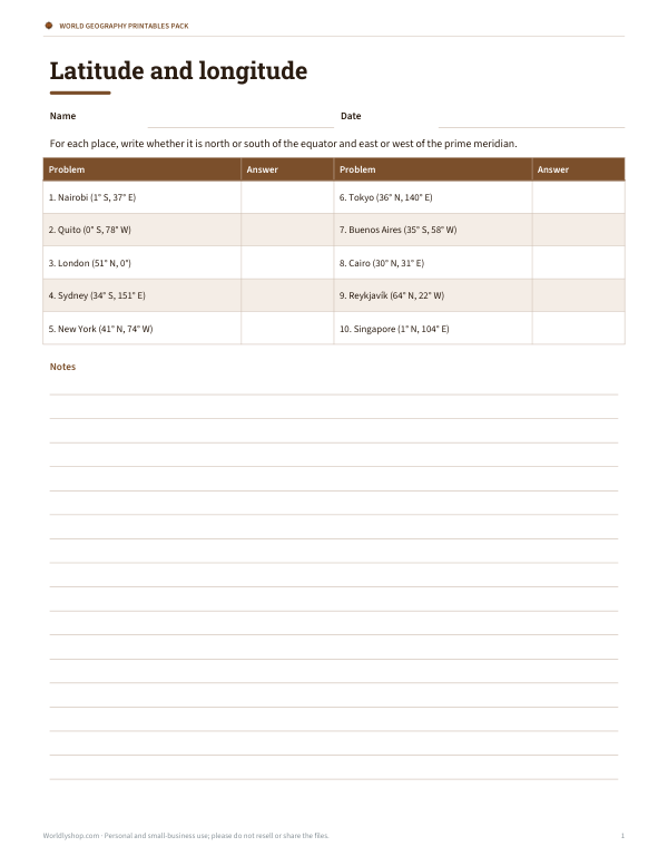 Printable Coordinates Worksheet2 pages · free PDF
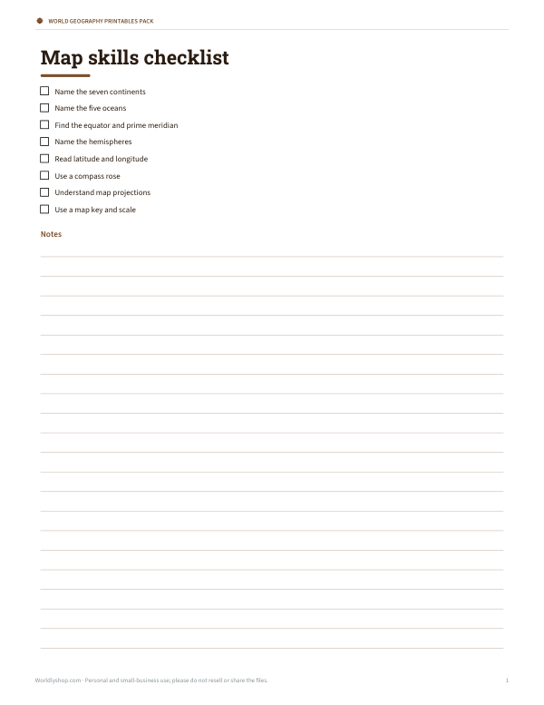 Printable Map Skills ChecklistFree printable map skills checklist for geography lessons, classroom tasks, and independent review. One page in Letter PDF format.1 page · free PDF
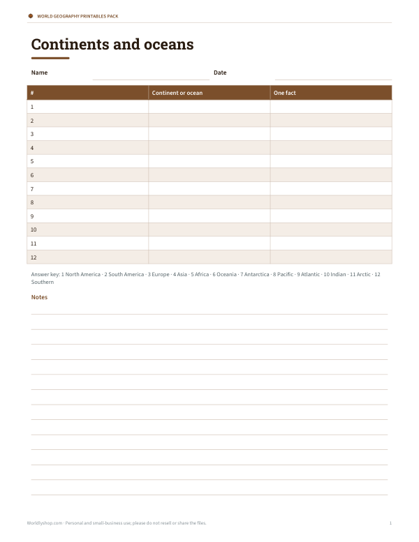 Blank World Map Labelling SheetPrintable world map labelling sheet with continents and oceans, plus Name and Date fields, a two-column response table, and answer key.1 page · free PDF