
Blank World Map Labelling Sheet
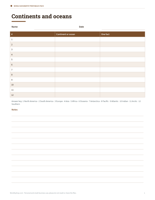
This blank world map labelling sheet is for students learning the continents and oceans. It includes Name and Date fields, a table with columns for #, Continent or ocean, and One fact, plus 12 numbered rows to fill in. The answer key lists North America, South America, Europe, Asia, Africa, Oceania, Antarctica, Pacific, Atlantic, Indian, Arctic, and Southern.
Free printable · PDF
- 1 page
- US Letter — choose “Fit to page” for A4
- PDF, 51 KB
Free for personal, family and classroom use.
Need to edit it? The full pack has the editable Word and Excel files plus all 4 sheets — $3.00, one-time.
Your free PDF is downloading. Want all 4 sheets in one download, plus the editable Word and Excel files so you can change the text?
Instant download · 7-day refund · Secure checkout by Stripe
Use it for map review, classwork, homework, or quick geography practice. Students can write each label in the table, then check their answers against the key. Print one page for individual work or use it as a simple review sheet.
Good for
- Geography review
- Homework practice
- Classroom assessment
Tip: Print double-sided with the answer key on the back for easy self-checking.
4 files · PDF, DOCX, XLSX
Get every sheet: World Geography Printables Pack
This sheet plus 3 more in one download, with the editable Word and Excel files. Printable world geography activities: continents and oceans labelling sheet with answer key, latitude and longitude practice worksheet, continent fact cards and a map skills checklist.
$3.00 USD, one-time 4 files · about $0.75 each
- Instant download
- 7-day refund
- Secure checkout by Stripe
✓ Classroom use included
7-day money-back guarantee. Full refund within 7 days of purchase, even after you download.
License: personal and classroom use. Teachers may print and photocopy these files for the students in their own classes, and share them in a password-protected class space (e.g. Google Classroom). Please do not resell, redistribute, or post the files on public websites. One purchase covers one teacher.
More free printables
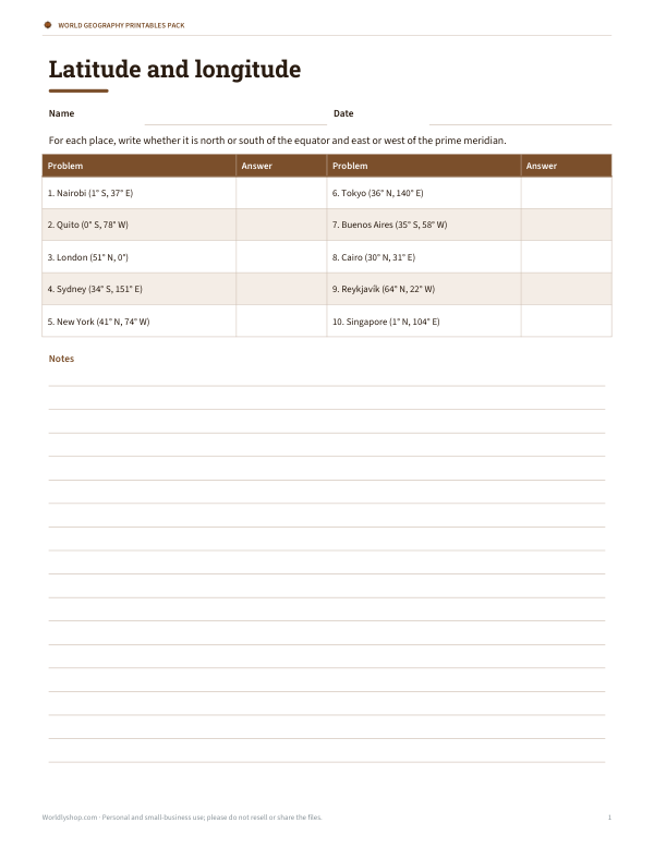 Printable Coordinates Worksheet2 pages · free PDF
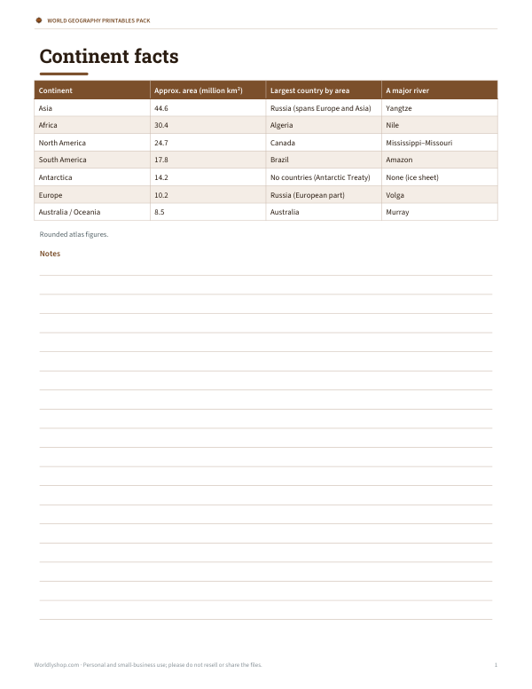 Printable Continent Fact CardsA one-page continent facts chart with area, largest country, and a major river for each continent. Rounded atlas figures in a simple table.1 page · free PDF
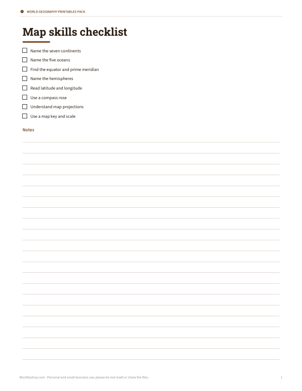 Printable Map Skills ChecklistFree printable map skills checklist for geography lessons, classroom tasks, and independent review. One page in Letter PDF format.1 page · free PDF